View shapefile GIS spatial data online on map absolutely free. Compress all Esri’s shapefile sub files including .shp, .dbf, .prj, .shx & .cpg in zip file and simply upload the file using this online shapefile viewer free mapping application. This GIS tool provide all basic functionalities of interactive online map, like zoom in, zoom out, pan etc. No signup or installation is required to use this shp reader free online application. Esri shapefile format is well known GIS format and widely used all over the world. Sometimes we want to view the GIS data on the go without installing any software on our computer. This apllication will instantly show your esri shapfile data online on map. You can also download the map of your data along with basemap in image format to use in your reports and presentations.
Full Screen
Free Shapefile Viewer Key Features:
Have you ever tried to view your .shp shapefile GIS data without installing any GIS software like QGIS? GIS software usually overwhelm the user with lots of options and tools. It is quite difficult for a user that needs quick solution to view shapefile with basemap. This free shp format viewer online web application provide following functionalities.
- Upload .shp data format files
- Change Color of your choice
- Download map with Open Street Maps
How to use this shapefile viewer?
Step 1: Prepare Shapefile to upload
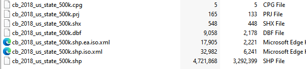
Make a zip file with all dependent files usually 6 or 7 files.
Step 2: Upload zip file to application
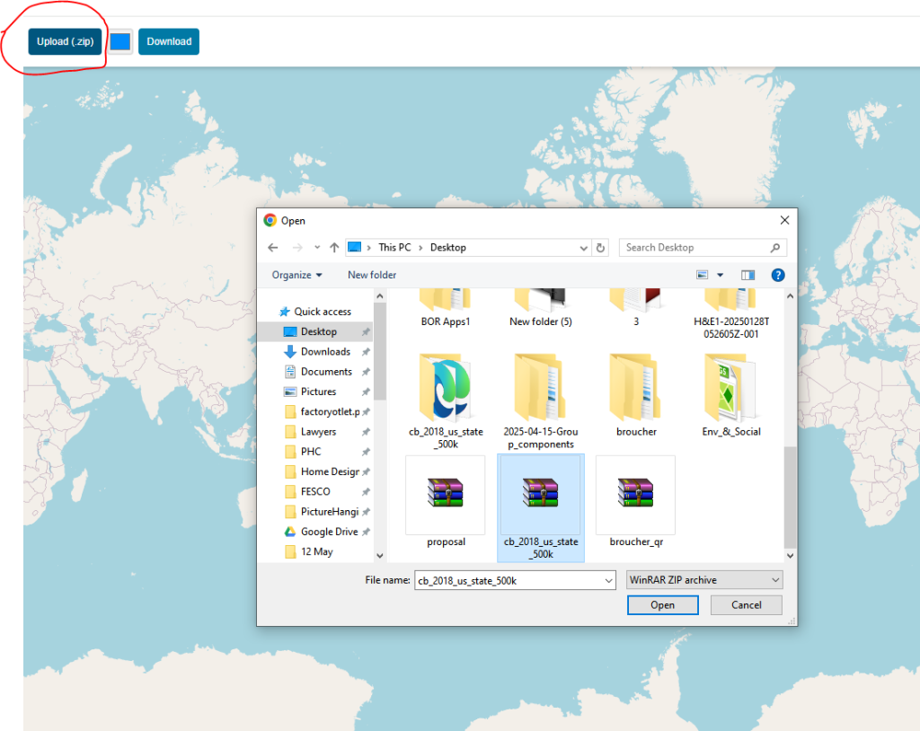
Once file is uploaded to the application, it will automatically read the shp data format and the spatial data will be displayed on map with extent of map same as the shapefile data.

Step 3: Change Color
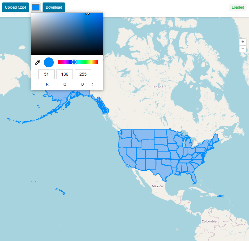
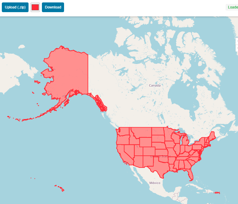
You can change the color of map easily just by selecting color from color pallet tool.
Step 4: Download Map
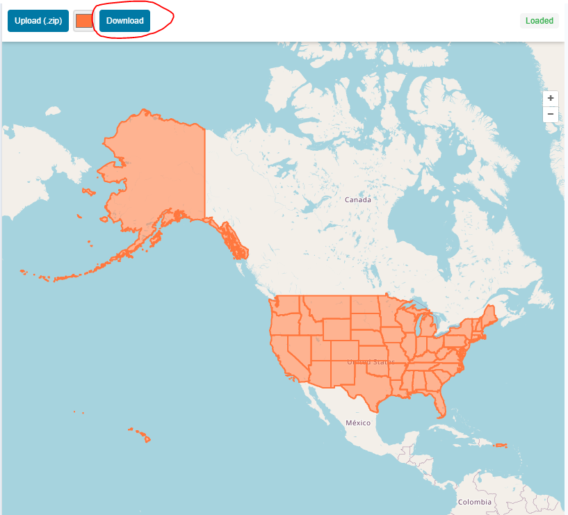
After customization of map press download and map will be downloaded in JPEG format.
Open Source Resources