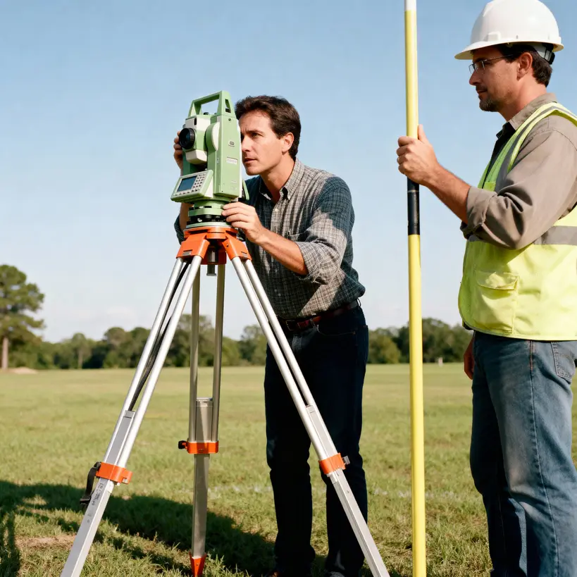
At present day, Calculation of land area is not limited to surveyors only. No specialized equipment is needed to measure a piece of land in this modern digital era. If you are planning a new garden as a homeowner or landscape planner, assessing field size as a former or a real estate developer planning a construction project, knowing the exact area measurements is a very important task. Land survey using state of the art equipments like total stations etc. is not the only option available these days.
We can use modern GIS technologies to measure the land area in no time. There are many free online tools to calculate land area are available offers many useful functionalities at no cost. These tools provide street view basemap like Open Street Maps and Satellite imagery view to see the exact area of interest.
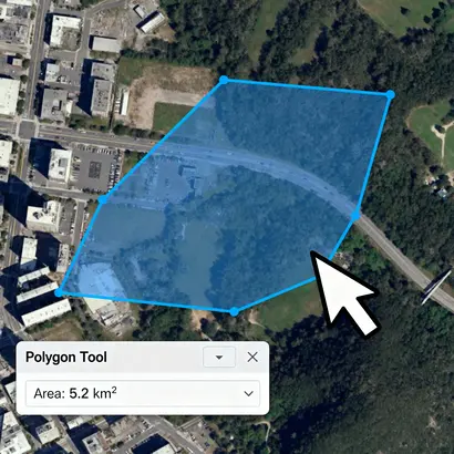
Web-based tools that use satellite imagery or street maps like Openstreet Maps as its canvas and user simply draw a shape in the form polygon around a property, field, or rooftop according to user’s interest, and the web tool automatically calculates the area under the drawn polygon. The best tools provide results in different types of units like square meters, acres or square feet etc.
What is a Online GIS web tool to calculate area?
Web browser-based Geographic Information System (GIS) online application that allows user to measure the area of any arbitrary shape directly on a digital map whether it is a satellite imagery or a street map . User draws a polygon of any shape according to his or her needs over a location (like a property, field, or forest), and the application uses geospatial techniques and algorithms to calculate the enclosed area in multiple units.